
Hendersonville ZIP Codes in Use
The researched USPS evidence establishes 37075 as the primary Hendersonville delivery ZIP. Postal labeling data also pairs 37075 and 37077 with a Hendersonville label. It does not provide a current municipal ZIP-boundary map. The table therefore records only what the sources support. It does not assign neighborhoods, city blocks, or a legal city area to either code.
| ZIP | Areas supported by source | Post office evidence | Postal note |
|---|---|---|---|
| 37075 | Primary Hendersonville delivery ZIP in the inspected USPS result | Hendersonville USPS service location at 105 Imperial Boulevard | Service-location record identifies 37075-9998; verify a delivery address separately. |
| 37077 | Paired with Hendersonville in postal labeling data | Not established by the inspected sources | Related or PO-box-style ZIP in the research baseline; no current boundary should be inferred. |
ZIP coverage needs an address-level check. A postal city name can extend beyond the legal municipality, and an address within a municipal boundary can be served by a delivery route whose label reaches elsewhere. That is why the Hendersonville ZIP code directory preserves the code as postal evidence instead of calling it a boundary.
USPS postal bulletin material is useful supporting evidence because it pairs 37075 and 37077 with Hendersonville labeling data. It still is not an official current city-boundary map. The research did not locate a downloadable USPS boundary result for every Hendersonville address, a county ZIP map, or a Hendersonville ZIP-boundary GIS layer. Those gaps should remain visible in any ZIP code directory result rather than being replaced with neighborhood claims.
Confirm Hendersonville ZIP Codes With USPS
The USPS ZIP Code Lookup is the operational authority for checking a delivery address. Use the address or city-and-state route it provides, record the five-digit ZIP exactly as returned, and retain ZIP+4 only as a postal field. This avoids turning a general city label into an assumption about parcel location or municipal status.
The USPS lookup interface is the first place to check the delivery portion of a Hendersonville ZIP code directory question.
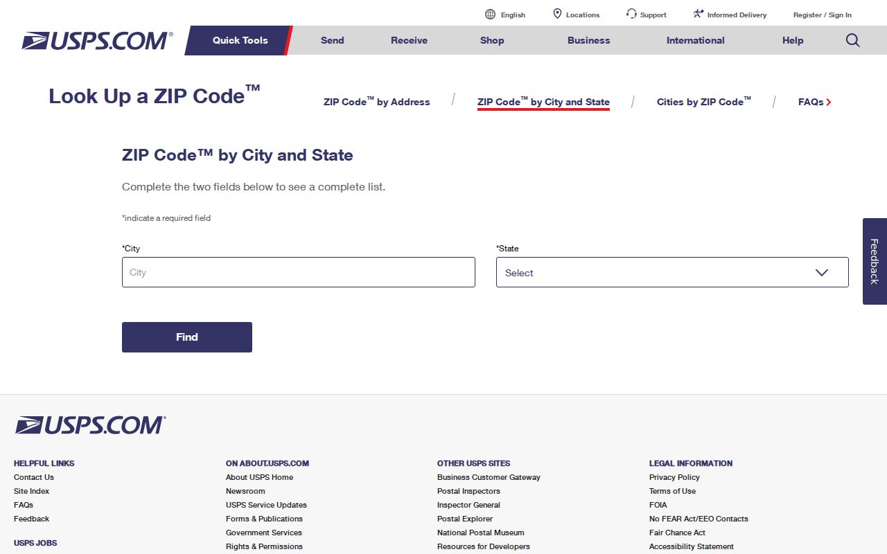
Its result should be saved with the search date, because delivery data is operational information and does not replace a county parcel record.
The USPS Hendersonville service record provides the local service-location evidence used for the 37075 entry.
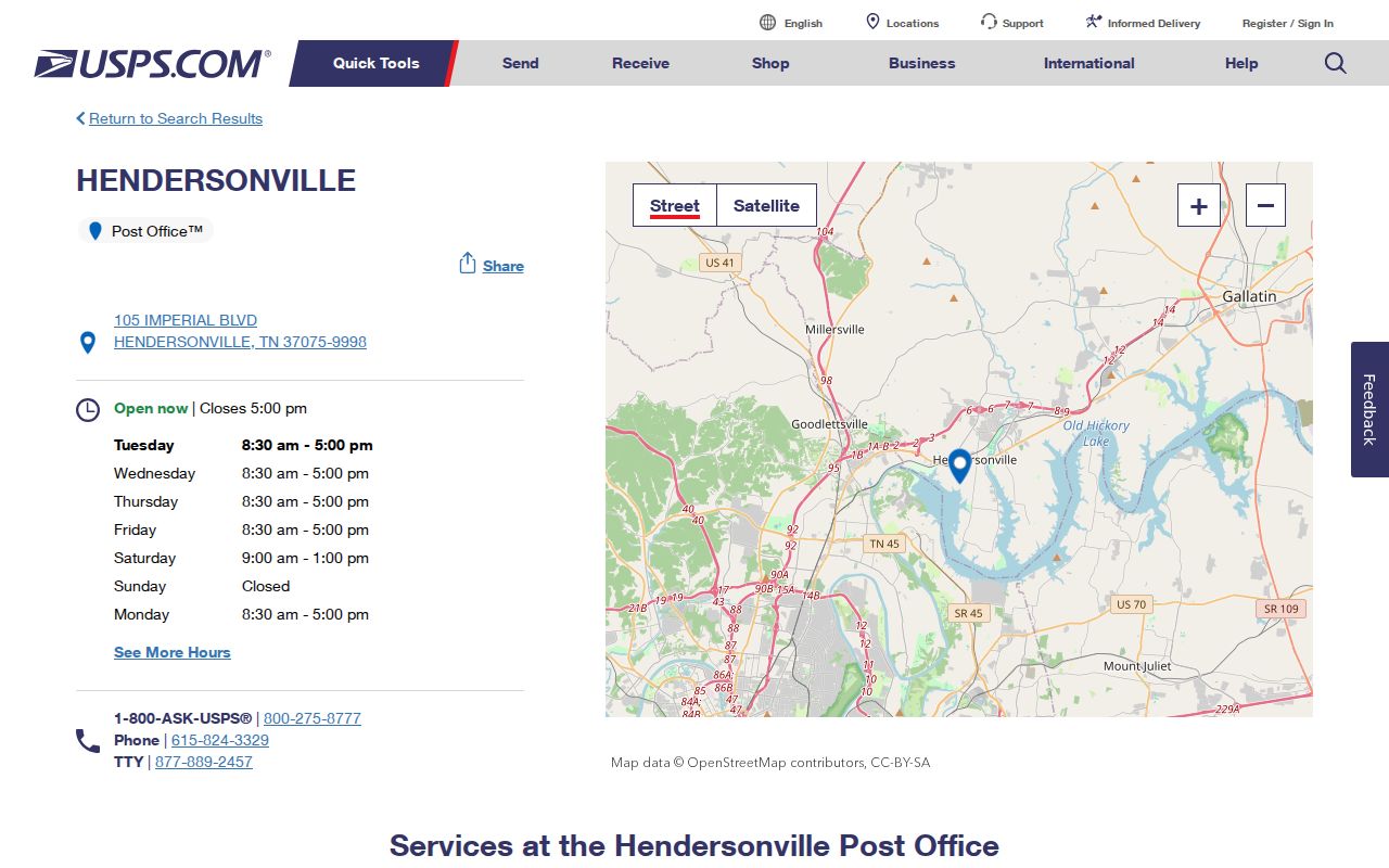
The service listing supports the local postal reference, but it does not define the outer edge of 37075 or establish an address as being within city limits.
Search Hendersonville ZIP Codes Stepwise
Use a ZIP as a filter only after confirming that a specific system accepts it. USPS accepts address and city-state input. GoVoteTN offers a voter search with an optional ZIP and an address route using a street address and ZIP. The TBI registry supports ZIP among its filters. The assessor's live search controls were not fully visible during research, and the Sumner court search has no ZIP field. A ZIP code directory search should state those limits rather than filling them with assumed filters.
- Verify the known delivery address through USPS and save the returned ZIP as a postal field.
- Look up the parcel through the Sumner property search, then compare its PropAddr and geometry through the county GIS route.
- For an election-status question, use GoVoteTN with the documented name or address route and ZIP information.
- For a record that has no ZIP field, such as the court portal, use its actual name, case, or address-related custodian route instead of forcing a ZIP search.
- Once the postal scope is narrowed, move to the Hendersonville street address directory for the parcel and deed sequence.
For a parcel question, the return from USPS is only the first check. The official ArcGIS layer exposes Owner, PropAddr, owner-mail fields, sale date, sale price, and instrument fields, but the complete assessor control set was not captured. For a court question, use the public court form's name or case fields because its documented search does not offer ZIP. Matching the record to its supported input is safer than treating every public system as a ZIP search.
Hendersonville ZIP Code Search Fields
GoVoteTN exposes two search paths that matter for ZIP work. The voter path documents first name and last name as required, with ZIP optional. The address path uses street address and ZIP, while the research capture did not expose the labels for additional select controls. Preserve that gap. It is more accurate than claiming a menu or mandatory setting that was not captured.
The GoVoteTN search page is the source for the documented name, address, and ZIP workflow.
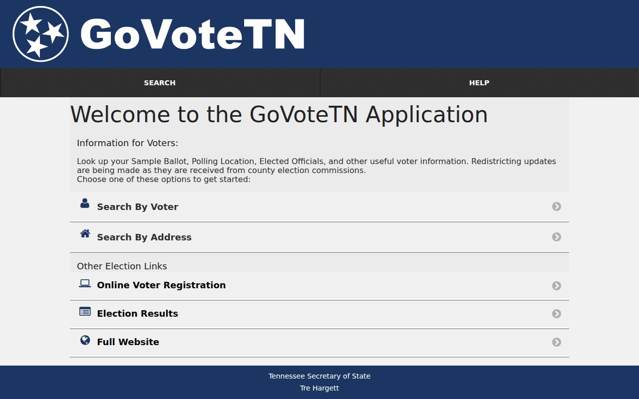
Use the returned status, polling-place, sample-ballot, or elected-official context only for the query the portal supports. A status result is not a complete resident list.
| GoVoteTN field | Type | Required | Observed use |
|---|---|---|---|
| First Name | Text | Required for voter search | Registration first name. |
| Last Name | Text | Required for voter search | Registration last name. |
| ZIP | Text | Optional for voter search | Used with the documented voter search; supplied with the address route. |
| Street Address | Text | Not stated in text capture | Used in the address-and-ZIP search path. |
| Additional select controls | Select | Not stated | Controls were present, but exact labels were not captured. |
Hendersonville ZIP Records Need Context
A ZIP filter does not turn any database into a general directory. The TBI registry search allows ZIP among several factual search fields, including name, alias, address, city, county, identification number, status, and offense. Its scope is the statutory registry, not a description of everyone in a ZIP. TBI says the data is updated daily and its accuracy is assured only for the day viewed or printed.
The TBI search screen illustrates the presence of a ZIP filter within a specialized official record system.
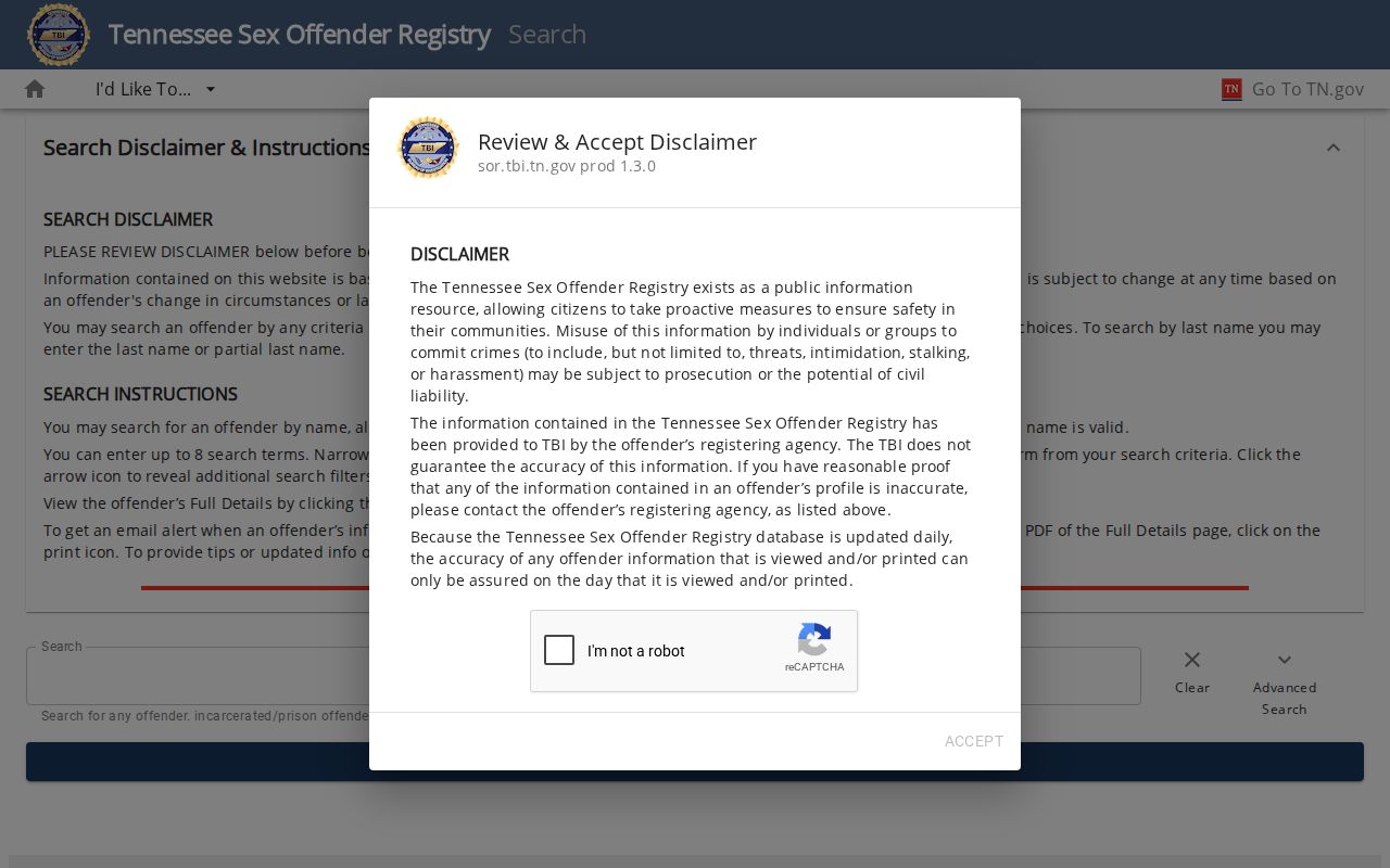
A result or nonmatch must not be used to make a broader claim about a person, a block, or the safety of a place. TBI specifically warns against misuse for threats, intimidation, stalking, or harassment.
Hendersonville Parcels and ZIP Codes
For a location question, pair USPS with the Sumner property and GIS record. The parcel layer distinguishes Owner from PropAddr and separates owner mailing components from the physical parcel address. Its geometry can show the parcel, nearby roads, water features, and adjoining land. A five-digit ZIP cannot replace any of those fields.
Use the Sumner County GIS page for the parcel-map route. If an address seems newly assigned, the Emergency Communications District is the local route for 911 addressing and street-name or plat review. Its process, not a USPS label, is the better source for address assignment.
Note: owner mailing fields can point outside Hendersonville, and they should not be recast as proof of who is at the parcel.
New subdivision lots require a plat showing the most recent lot lines, and a new street name requires preliminary-plat review through the Emergency Communications District. That makes 911 addressing a useful follow-up when an address seems inconsistent with a plat or parcel, while USPS remains the authority for the delivery ZIP. Save both answers in the research note because they resolve separate questions.
Hendersonville ZIP Boundaries Differ
ZIP codes are delivery constructs. They are not municipal boundaries, neighborhood boundaries, or proof that someone lives at an address. No official county ZIP map, Hendersonville ZIP-boundary GIS layer, or historic street-renumbering archive was located in this research pass. A mapped count should use the relevant parcel, municipal, Census, or ZCTA geography, with the source named.
For a city-limit question, save the USPS result, inspect the parcel geometry and municipal context, and ask the appropriate local custodian if a formal boundary record is needed. Do not draw a ZIP outline from scattered address points or mailing lists.
Postal-limit reminder. A Hendersonville ZIP code can support a delivery question, not a claim about municipal jurisdiction or a person's current presence at an address.
Hendersonville ZIP Code Terms Defined
Postal terms are easy to overread when comparing an address with a parcel or city record. Keep the values in their own columns or notes so that delivery, physical location, and map geography can be reconciled later.
- ZIP Code
- A five-digit postal routing code for an address or delivery area. It is not a legal municipal boundary.
- ZIP+4
- An added four-digit postal segment used to refine delivery routing. It should remain a postal field.
- PO-box ZIP
- A ZIP used for post-office boxes or related postal service. It does not describe a geographic city district.
- Unique ZIP
- A ZIP assigned for a particular postal purpose or organization. No Hendersonville unique ZIP was established by this research.
- Carrier route
- A mail-delivery grouping used by USPS. It is not a municipal or parcel boundary.
Hendersonville ZIP Geography Sources
Local geography: Hendersonville's city-history source describes about 26 miles of Old Hickory Lake shoreline and approximately 38 square miles. Census QuickFacts reports 31.42 land square miles in 2020. The difference is not an error to average away: the city-history figure and Census land-area measure describe different concepts. Neither supplies a ZIP boundary.
For a published count or map, label the source and vintage. Census geography is useful for a consistent city comparison, while a ZIP question remains a USPS and address-verification task. Keeping those distinct prevents postal data from being presented as city geography.
Review Hendersonville ZIP Code Evidence
Record the exact address searched, USPS result, search date, parcel identifier, and source used for any municipal conclusion. If GoVoteTN or another ZIP-capable tool is used, also record the field path and date because public portals and their results can change. The current research notes that the assessor's rendered controls were unavailable and that the court search has no ZIP input. Those are limits worth retaining.
For an address that needs formal assignment clarification, contact Sumner Emergency Communications at 255 Airport Road in Gallatin, 615-451-1200. For postal delivery, return to USPS. For a property location, use the Sumner parcel and GIS records. Each custodian answers a different part of the Hendersonville ZIP code directory question.
Keep the output modest: a ZIP can help narrow a postal query or verify an address, but it does not validate city limits, owner status, or current occupancy. When the records disagree, preserve the conflicting source labels and dates. That gives the next reviewer a way to verify the address through the appropriate office.