
Hendersonville Neighbors by Parcel
For a Hendersonville block question, use sources that describe land and public projects before looking at names. The official parcel layer maps the physical lots. The property search organizes owner and situs clues. Recorded instruments add legal descriptions, plats, and restrictions. City pages can describe an address-keyed project or service context. None of those sources produces a roster of occupants, and geographic proximity is not a social connection.
| Source | What it shows about a block | Access path |
|---|---|---|
| Sumner ArcGIS parcel layer | Parcel IDs, geometry, owner, situs, mailing, and sale fields | Public layer schema |
| Sumner Property Search | Address, owner, or parcel starting point | JavaScript portal |
| Register of Deeds | Recorded instruments, legal descriptions, plats, and restrictions | Office and linked index |
| Emergency Communications District | Assigned-address and lot-line process | Office contact |
| Hendersonville Public Works | Municipal infrastructure and service context | City department page |
The owner field, a situs address, and the owner's mailing fields have separate meanings. A parcel owner may be an entity, trust, estate, lender, or person who receives mail elsewhere. They do not prove current occupancy. For a whole named road rather than the parcels around one address, use the Hendersonville street directory workflow.
Hendersonville Neighbor Boundaries
Start with the exact address, parcel, owner name, or map location in Sumner's property search. Save the parcel identifier and open its geometry. Then identify adjoining lots, roads, and water features before searching any nearby owner names. A corner, cul-de-sac, lake edge, right-of-way, or subdivision line can make a visual "next door" assumption wrong.
For each surrounding lot, make a separate record. Note the layer name and observation date alongside Owner, PropAddr, and any map boundary clue. The ArcGIS parcel layer is the geographic ground truth for this task, but its geometry only establishes adjacency. It does not show a household, friendship, family tie, or a person's daily presence.
Note: Neighbor means a geographically adjacent or nearby parcel, not a claim about a social or residential relationship.
Hendersonville Neighbor Field Guide
The official Sumner ArcGIS parcel layer exposes a useful field model. Preserve the field name along with the value in a research note. The live property portal is JavaScript-based, and its complete rendered control set was not available in the source pass, so do not assume every field has a visible filter in every portal version.
| Parcel field | Meaning for a block review |
|---|---|
Owner | Named owner record, not proof of a current resident. |
PropAddr | The parcel's physical or situs address. |
OwnAddr1/2/3, OwnCity, OwnState | Owner mailing-address components, which can differ from the situs. |
OwnDate, SalePrice, OwnInstr | Ownership or transaction clues that need document context. |
| Parcel identifier and geometry | The stable key for testing lot edges and recorded descriptions. |
Myth: a parcel edge or owner mailing address does not mean that two people live together, are related, or even receive mail at the parcel. Treat each as a prompt for a more precise source, not a conclusion.
Map Hendersonville Neighbor Parcels
Use one address as the map anchor, then follow the physical records outward. This is a parcel workflow, not a people list. It produces a reproducible path from an address to the lots that touch it, then to the separate owner and document records for those lots.
- Locate the exact parcel in the Sumner property search and record its ID,
PropAddr, owner, and map date. - Read the geometry for adjoining parcels, roads, water, and subdivision boundaries before choosing nearby lots.
- Open each selected parcel separately and preserve its owner, mailing fields, sale clue, and legal-description lead.
- Search each owner separately in the Register's indexes, then read the instrument, later releases, assignments, and relevant plats.
The flow is address → parcel ID and situs → geometry → adjacent parcel records → owner-by-owner Register search. If the question expands to a complete street record trail, the Hendersonville street directory explains that larger address-led task.
Hendersonville Neighbor Record Indexes
After the parcel step, use the Sumner County Register of Deeds for the recorded chain. Its index architecture matters: direct and reverse searches, plats, and subdivision-restriction indexes are different paths. A name that is absent from one index may still appear in a restriction, deed of trust, lien, plat, release, or assignment. Read the legal description and instrument type instead of relying on a name line alone.
Insider tip: Search a relevant owner in both grantor and grantee directions, then test plat and restriction indexes separately. This is especially useful when a subdivision line explains why adjacent geometry and a modern street address do not tell the whole story.
The Register links its search routes through the official office page and the internet index. The office does not perform title searches, so a block review should be described as an index-and-document inquiry rather than a title conclusion.
Hendersonville Neighbor Lot Addressing
When a lot has changed, an address alone can be a weak map key. The Sumner Emergency Communications District handles 911 addressing, GIS maps and data. For a subdivided lot, its process calls for a plat showing the most recent lot lines. New street-name applications require preliminary-plat approval, so preliminary and final layout clues should not be treated as interchangeable.
The documented office contact is 255 Airport Road, Gallatin, with 615-451-1200. Ask for the current address-assignment or lot-line record that fits the parcel question, and keep that request separate from a resident inquiry. Address assignment can clarify geography, but it does not reveal who occupies a property.
Hendersonville Neighbor ZIP Limits
Postal labels are a separate layer from the parcel map. Official USPS evidence identifies 37075 as the primary Hendersonville delivery ZIP and pairs 37077 with Hendersonville labeling data. Neither number draws a city boundary, neighborhood boundary, or a parcel-adjacency line. Use the five-digit ZIP as a delivery field and return to Sumner geometry or municipal boundary evidence for a block question.
A nearby property can share a postal label while sitting outside a legal municipal boundary, and a Hendersonville parcel can be better understood through its county, situs, and geometry than through its ZIP. Preserve those fields separately rather than using the postal city name as a map conclusion.
Hendersonville Neighbor Project Context
Hendersonville Public Works provides neighborhood-facing context for traffic calming and stormwater. It can help explain a road, drainage, or city project near a block. It is not a resident roster, and a project contact can be an owner, contractor, engineer, or other role rather than an occupant.
See the Public Works department page for the city service context.
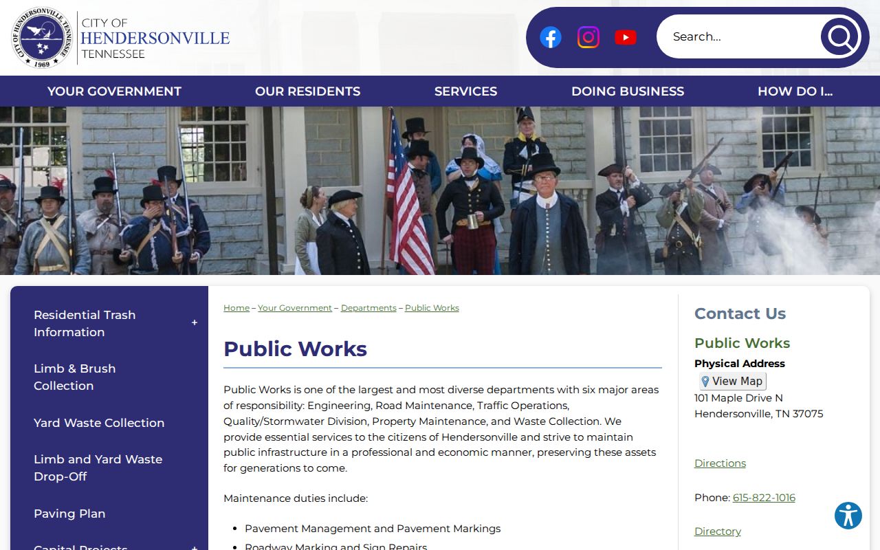
It supports a block-level infrastructure question without supplying names of people who live nearby.
A road-cut permit is another address-keyed municipal record that may explain street work. Its project details still require the role labels and date context shown by the city record.
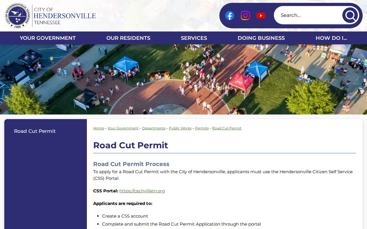
Use a permit as context for work at an address, not as evidence that a listed project contact resides there.
Hendersonville Neighbor Property Context
The assessor's real-property information explains the county's assessment role. Its parcel information can help distinguish a property question from an occupancy claim. Assessment values, classifications, sale price, and owner-mail details remain record-specific clues, not a substitute for a current household record.
Review the real-property source alongside the actual parcel ID.
Combining the general assessment explanation with a saved parcel identifier makes the scope of a block note clear.
Hendersonville HOA Directory Gap
No official umbrella directory of Hendersonville neighborhood associations or HOAs was located in the research pass. That gap should remain visible rather than being filled with a table of unverified groups or contact names. A voluntary membership directory, when one exists, is not an official parcel, election, or residency record and may be incomplete by design.
Official property records are the stronger choice for parcel boundaries, owner fields, and recorded documents. Commercial neighbor-search categories may combine data from many sources, but their field meaning, update date, and correction route can be unclear. Use the government custodian or the association itself for a specific, lawful question instead of treating a compiled category as a neighborhood roll.
The August 8, 2025 MS4 priority-area notice is also address-keyed environmental-program context, not a roster of Hendersonville neighbors and not evidence of a resident or property violation.
Hendersonville Neighbor Privacy Limits
Public voter-registration information is limited to Tennessee citizens and excludes Social Security, driver-license, and Department of Safety/HS identification numbers. The voter lookup is a status tool, not a block roster. Registration can lag a move, and the Sumner Election Commission is the right custodian for voter-file questions. Do not use a partial voter result to infer a confidential or current address.
Tennessee's Safe at Home program protects qualifying participants with a substitute address for defined state and local government purposes. Do not try to reverse-engineer a protected location through parcel, voter, postal, or other record fragments. Utility, delivery, juvenile, sealed, and protected personal information have their own limits as well.
Lawful use. Use Hendersonville neighbor research for a lawful property, local-history, or civic question. Never use it to watch, stalk, harass, intimidate, dox, or harm any person.